MAPS
| Click on the thumbnails for a larger view | |
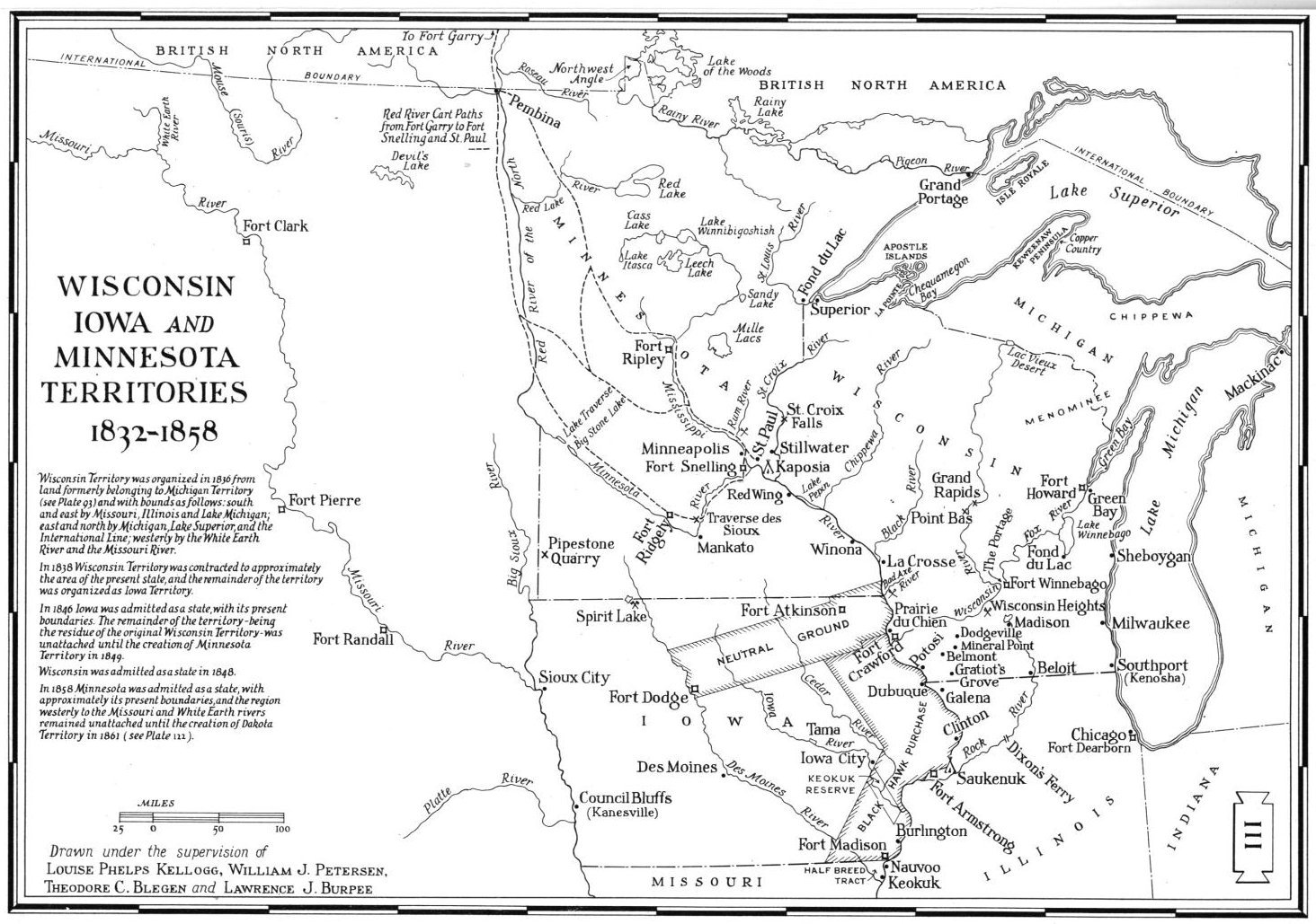 |
1832-1858 Wisconsin, Iowa and Minnesota Map |
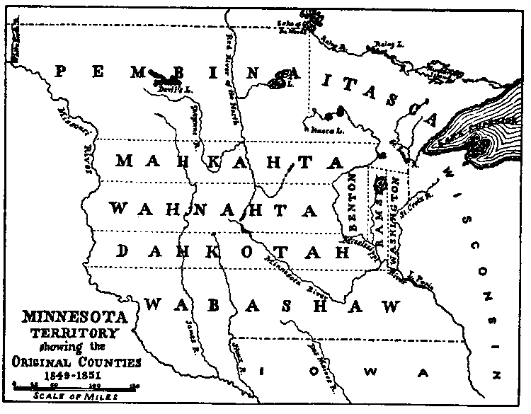 |
1849 - 1851 Minnesota Map. Lake of the Woods was then part of Pembina. |
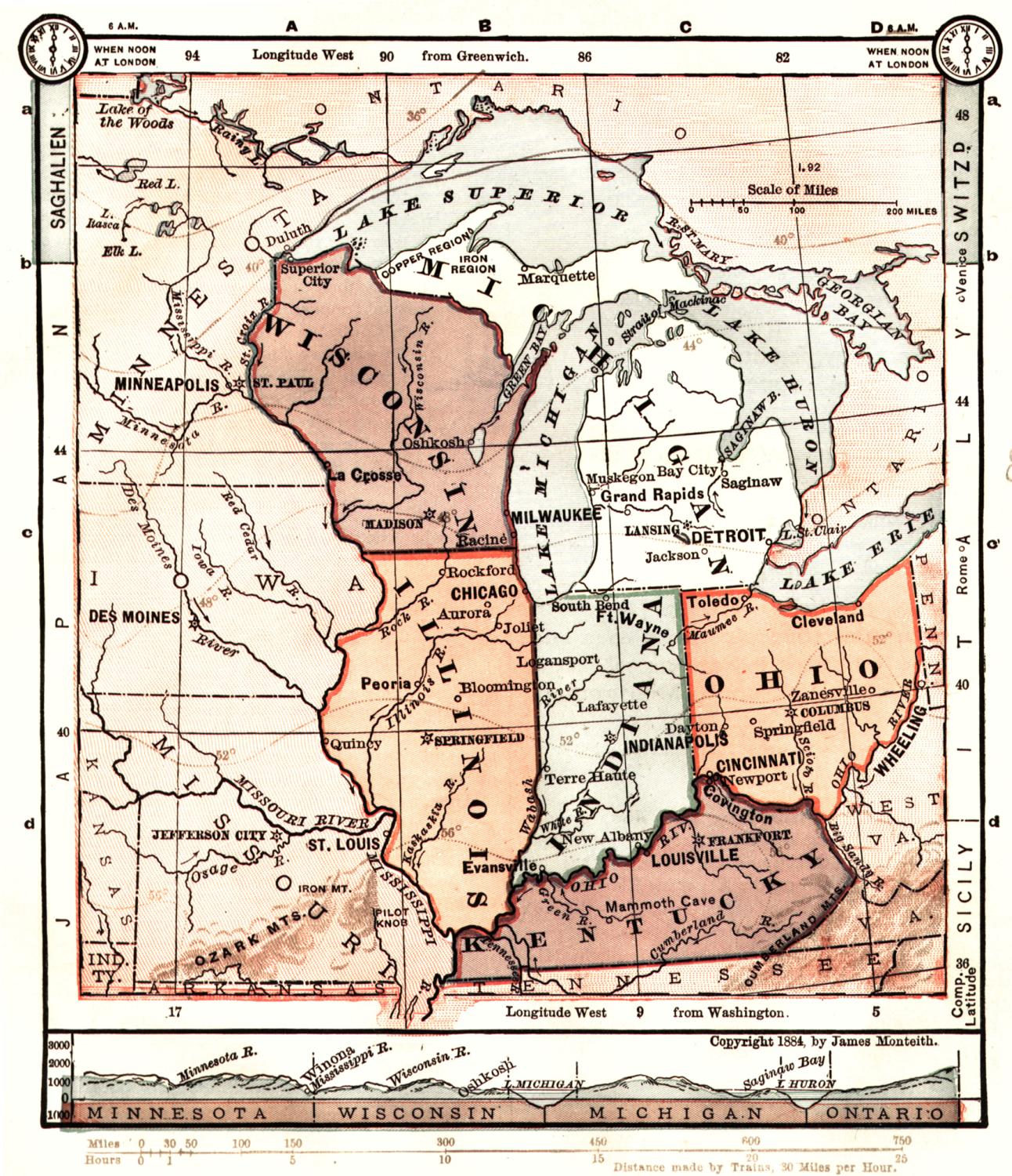 |
1884 Midwest Map |
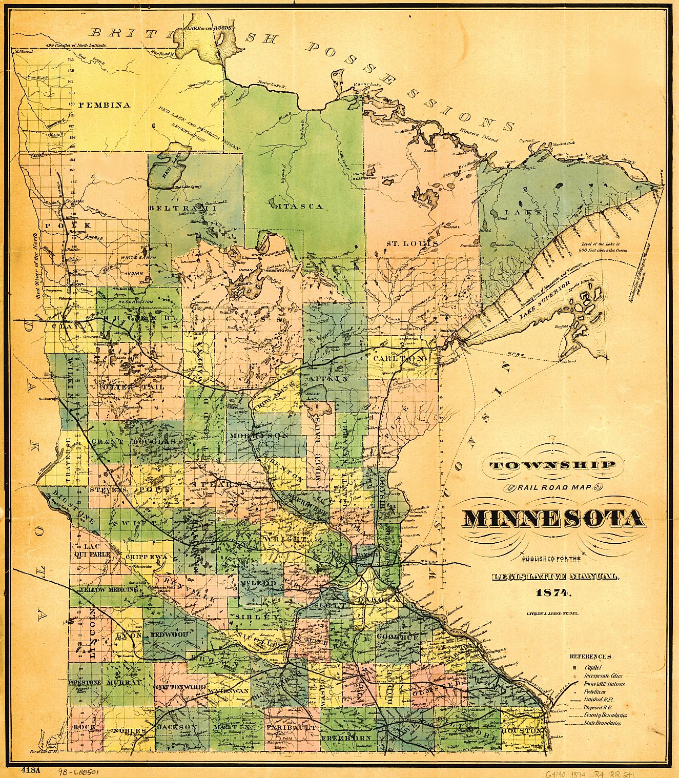 |
1884 Minnesota Map |
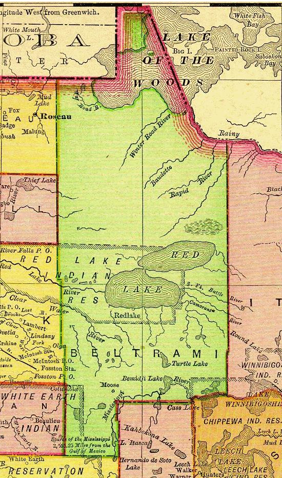 |
1895 Beltrami County Map |
 |
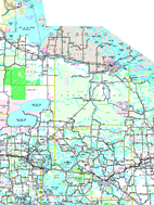
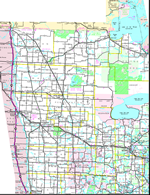
Beltrami County area map |
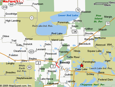 |
Beltrami County area map |
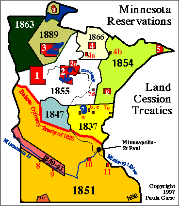 |
Minnesota Indian Reservations Map |
 |
Requires Adobe Acrobat to view |
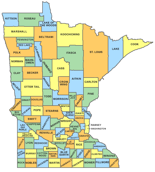 |
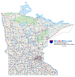
Map of Minnesota Counties and County Seats |
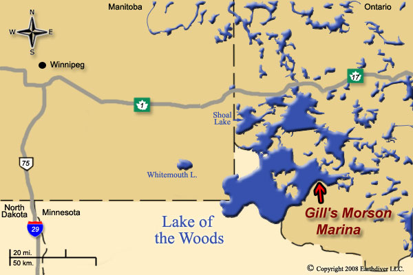 |
Map of Lake of the Woods and surrounds |
 |
North Central Minnesota - Requires Adobe Acrobat to view |
 |
Northwest Minnesota - Requires Adobe Acrobat to view |
©
1998 to 2011 by Michael Andrews for the benefit of the MNGenWeb Project
©
2011 to present by Vikki Gray for the benefit of the MNGenWeb Project